Digital Theodolite with Scanning Beam
High performance theodolite for precision alignment, with vertical scanning beam
CHALLENGES IN SURVEYING
MINIMISE RE-WORK
Using quality survey equipment allows accurate positioning in X, Y and Z, eliminating the need for re-work due to errors in positioning.
DATA RECORDING
Using appropriate survey equipment allows you to easily meet requirements for as-built data and simplifies completion of jobsite documentation.
OPERATING COSTS
Inefficient methods of alignment increase working hours, errors and ultimately leading to higher operating costs.
Solutions
01
RELIABLE AND EASY TO USE
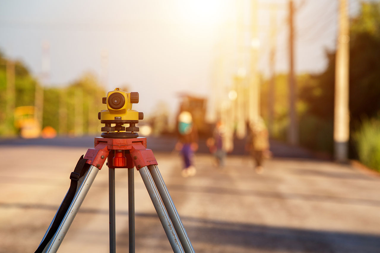
Automatic Level 32X
- Reliable magnetic damping compensator ensures stability, even under vibration and shock
- New designed sturdy and durable housing
- Sealed structure for using in any weather condition
- Fits for flat and dome head tripod
02
NEW OPPORTUNITIES FOR SURVEYORS
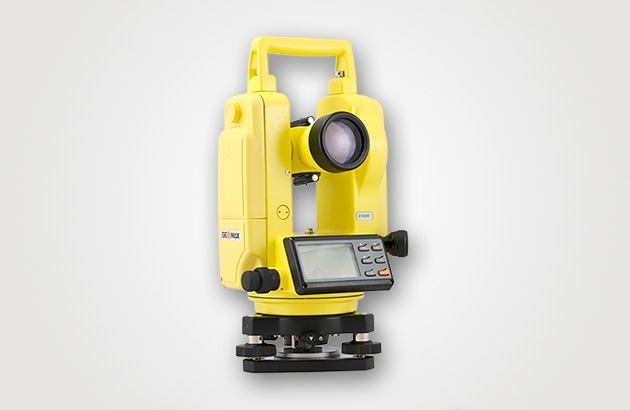
Digital Theodolite
- Easy to operate
- Laser plummet
- Two clear LCD displays
- Rechargeable battery
- Horizontal angle can be set to zero from any point
- 2“ accuracy
- Laser beam for sight (THEO.KDO2 LASER)
03
WITH SCANNING BEAM TECHNOLOGY FOR FAST VERTICAL ALIGNMENT
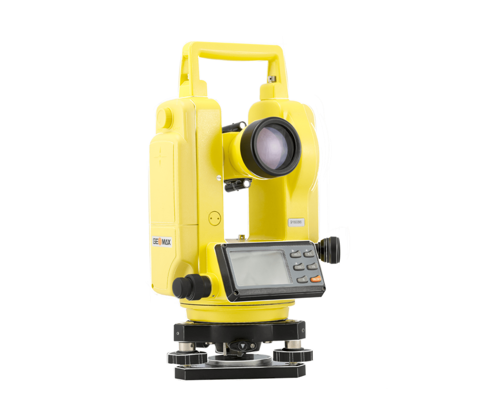
DIGITAL THEODOLITE WITH SCAN
- Easy to operate
- Optical plummet
- Two clear LCD displays
- Rechargeable and alkaline battery packs
- Horizontal angle can be set to zero from any point
- 2“ accuracy
- High power rotating laser beam to use with receiver
- Long range operating distance
- Ideal for vineyard and rural fencing contractors
04
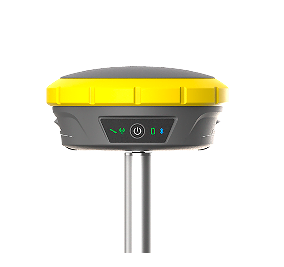
FLAGSHIP GNSS RECEIVER
ZENITH60
The Zenith60 is a calibration-free tilt GNSS smart antenna that incorporates state-of-the-art technology. In combination with the X-PAD field software, field controllers and widely appreciated support and services, GeoMax provides a GNSS solution that ensures a convenient, flexible and pleasant working experience. As a part of the Hexagon group, GeoMax can guarantee its solutions work when you do.
05
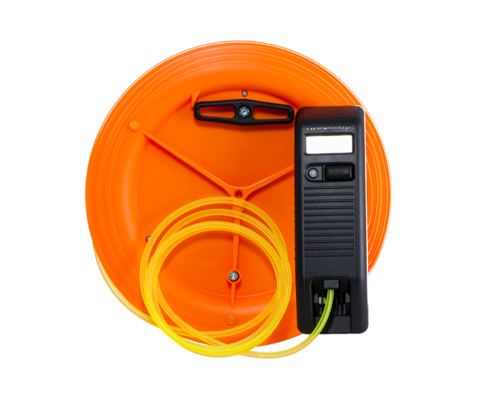
EASY TO USE HYDROSTATIC (WATER) LEVEL
NIVCOMP
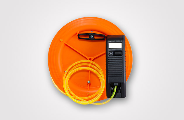
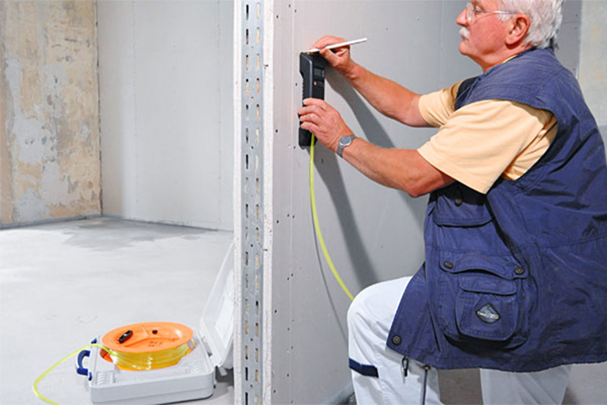
Nivcomp is the first leveling instrument of its kind to let you work alone and even around corners with better than 2 mm precision and cover up to ± 2.5 meters vertically over a 48 m radius. Nivcomp directly displays vertical measurements on a LCD, in large, easy to read digits, unlike conventional builderís optical and laser levels.
- Easy to operate
- Durable & maintenance free
- No setting up or tripods required
- Measures height differences in blind areas
- No laser beam (no safety concerns)
- One man operation
- Hand unit can be vertical or flat


