Challenges in excavation work
Exact Depth
During excavation the driver can only assume the correct depth; to verify the depth needs to be checked manually.
COMPLEX DESIGN
Creating surfaces with multiple slope changes requires even more manual checks.
High operating costs
Manual measurement requires lot of time and tehrefore causes higher operating costs.
Inclination
The operator can only visually duplicate previous slopes and then manually check them.
Safety
The surveyor who measures the depth has to manually move into a risk zone.
EXPERIENCE
If the operator does not enough experience it will be difficult to get a good result.
Solutions
01
IDEAL SYSTEM FOR SIMPLIFYING EARTHMOVING
Xsite EASY
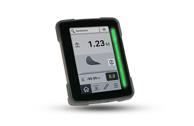
The Xsite® EASY 2D system measures depth, range, and incline of the bucket, as well as depicts the bucket position graphically and numerically on the display. Using this information, the machine operator always knows the exact position, and work progress. This allows them to work exactly according to plan, precisely implementing the specifications.
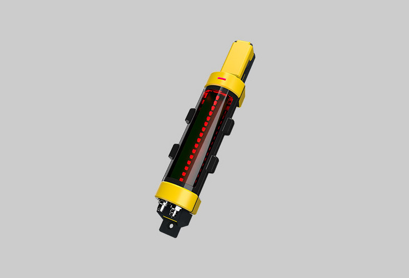
Xsite EASY System components
02
Efficient 2D excavator control for better Dredging results
Xsite PRO 2D
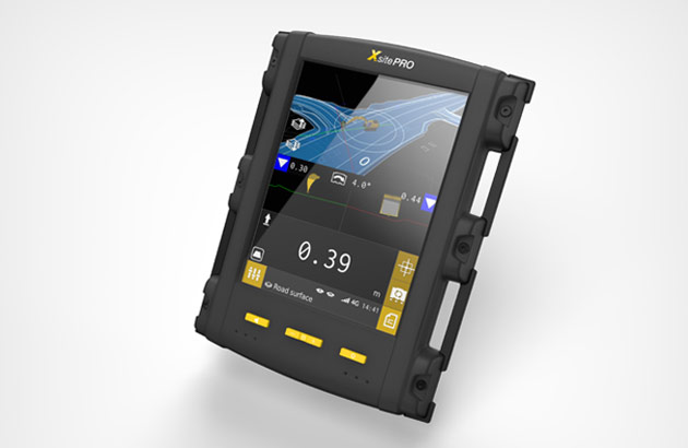
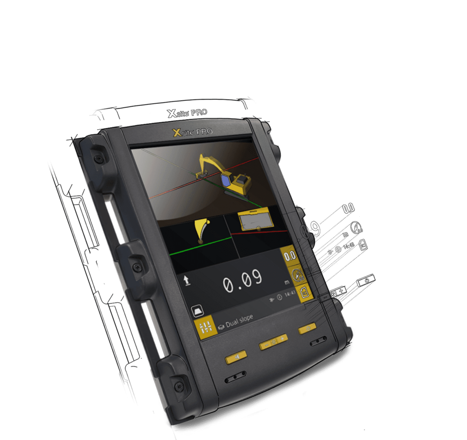
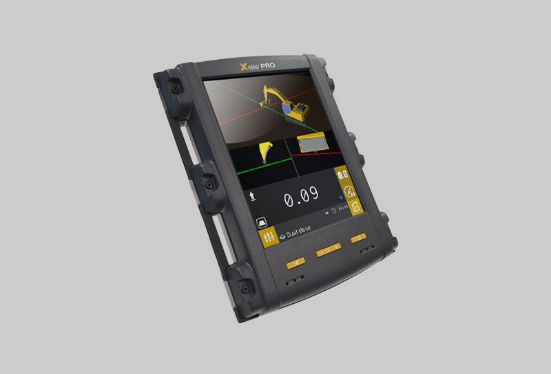
With Xsite PRO you can also benefit from additional features, like up to two GNSS antennas, which determine the position of the excavator via satellite. Thanks to the fast processor, the measured values are processed in real-time and are displayed on the 8.4“ graphic display immediately. The option of defining multiple profiles for different work assignments and having them ready at any time saves time, fuel and material and at the same time increases the efficiency of your machine.
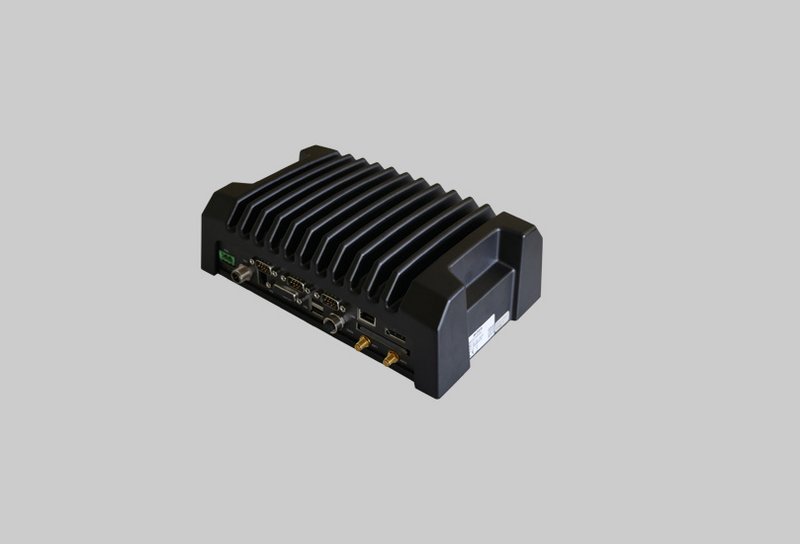
Xsite PRO 2D System components
03
High-end 3D excavator control for optimal excavation work
Xsite PRO 3D
With Xsite PRO 3D you can also benefit from additional features, like up to two GNSS antennas, which determine the position of the excavator via satellite. Thanks to the fast processor, the measured values are processed in real-time and are displayed on the 8.4“ graphic display immediately. The option of defining multiple profiles for different work assignments and having them ready at any time saves time, fuel and material and at the same time increases the efficiency of your machine.

